Photo Gallery - The Rock Ride 2008
Day 1
Day 1 Report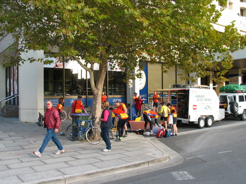
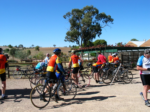
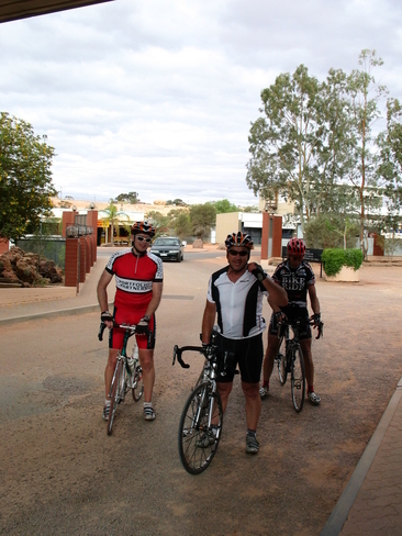
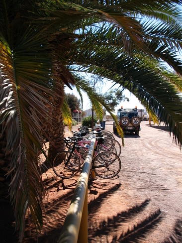
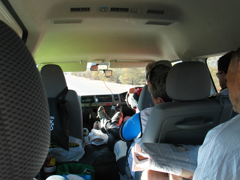
Loading for the first time, trying to get ready for an 8am depart.
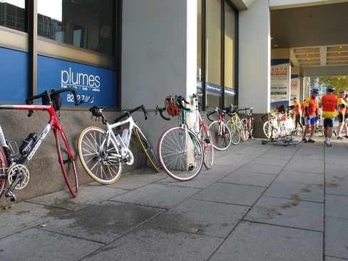
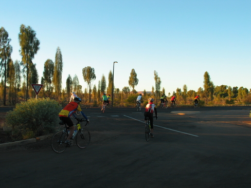
Bikes, waiting for the start...
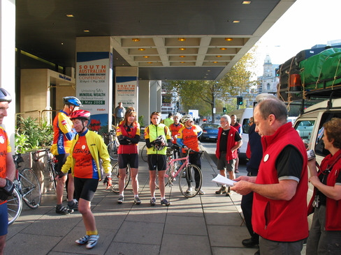
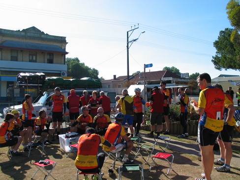
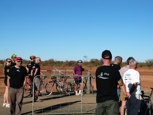
Phil giving us a few words before the start.
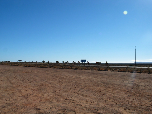
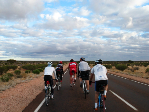
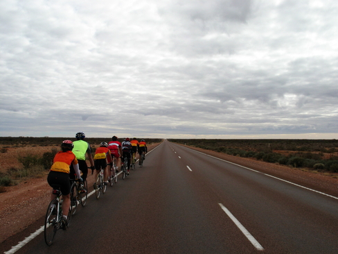
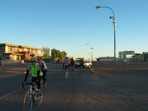
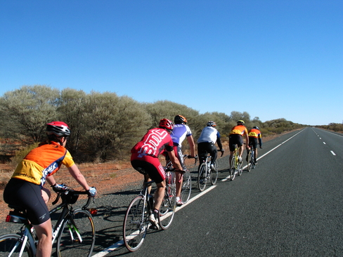
The bunch, nearly all of the riders this early in the day
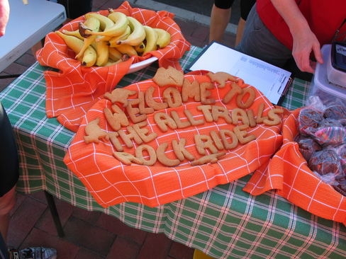
Sue's baking isn't just delicious, it looks good too!
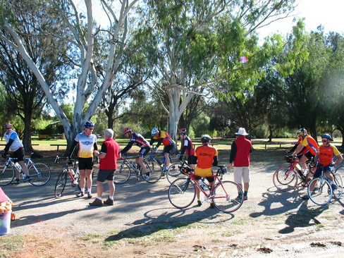
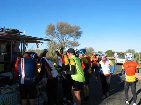
The crowd at Morning Tea at Two Wells
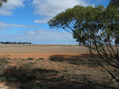
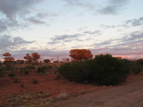
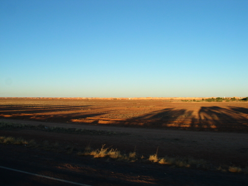
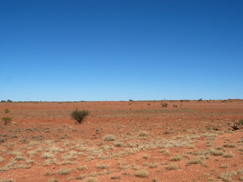
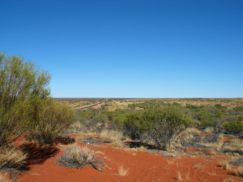
Wheat Country
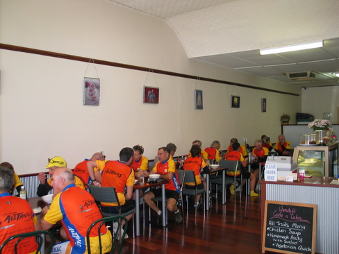
Lunch! The Cafe opened specially for us today.
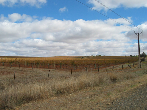
Vineyards, proof we were in the Clare Valley
Day 2
Day 2 Report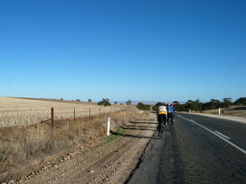
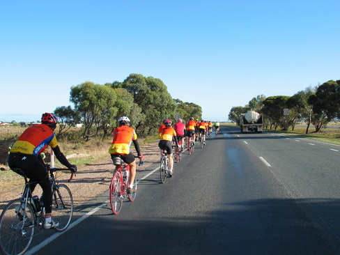
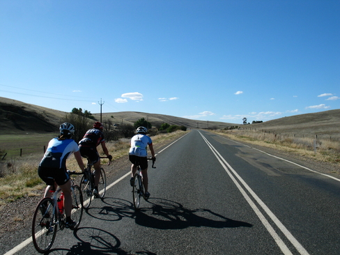
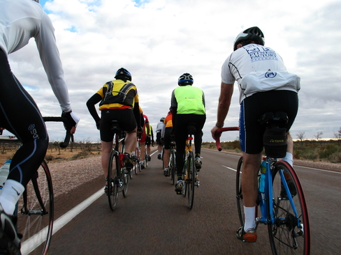
The early bunch, heading deeper into the Flinders Ranges
Leaving Morning Tea
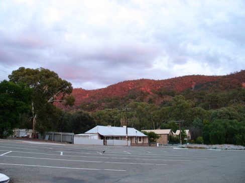
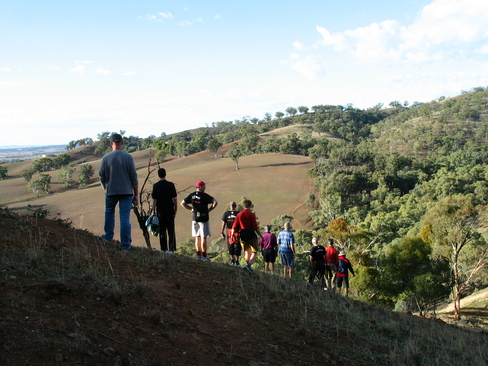
Some of the fantastic scenary we saw today.
Lunch at Stone Hut Bakery
The afternoon bunch, Graeme and Anthea on the front, Bronny behind.
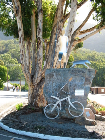
The sculpture at the entrance to Melrose, indicating the great walking and mountain biking in the area.
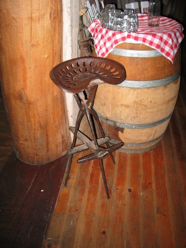
One of the many bar stools in the pub. Extra points if you can work out what it is constructed off.
Day 3
Day 3 Report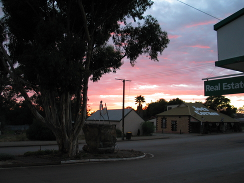
A Beautiful Melrose sunrise.
The early sun striking the lower slopes of Mt Remarkable
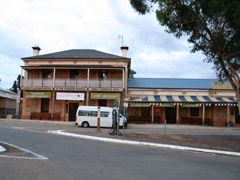
The North Star Hotel, Melrose
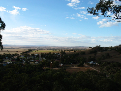
The view from the lower slopes of Mt Remarkable.
Lining up on the Ridge Line
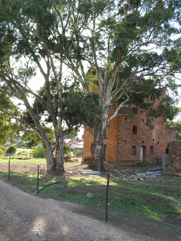
I guessed a Flour Mill, others guess a Brewary, strangely, we were both right. Originally a Flour Mill, converted to a Brewery later in life.
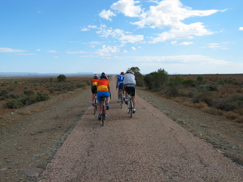
Phil's Magical Mystery Tour. This road was rough.
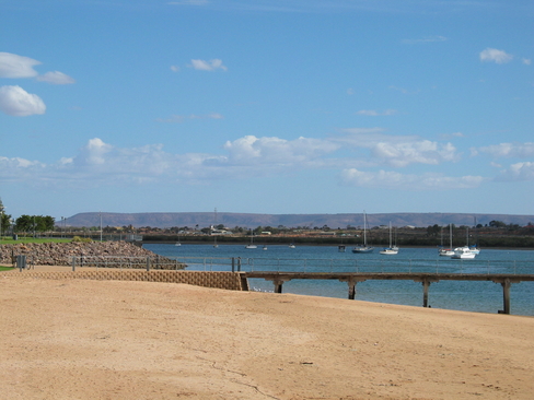
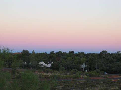
Port Augusta looking towards the Flinders Ranges
Day 4
Day 4 Report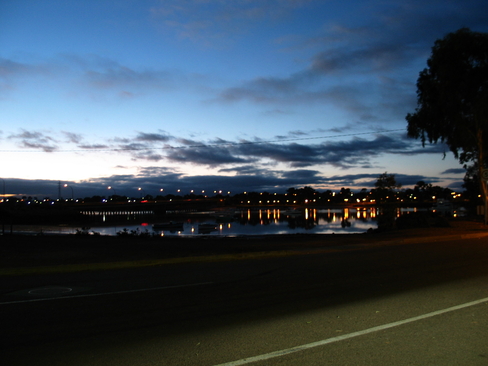
The early morning lights, reflected on the water at Port Augusta.
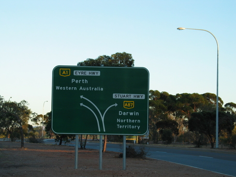
Make sure you don't miss the turn, the long way is really that, the LONG way.
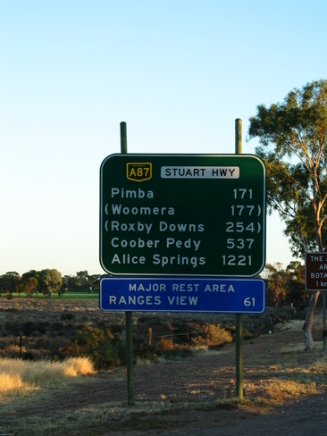
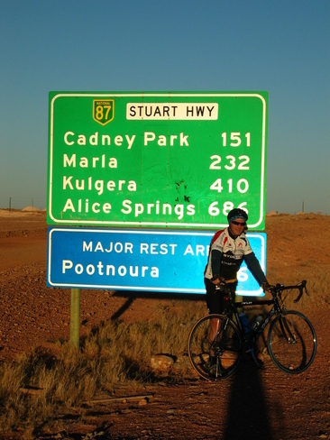
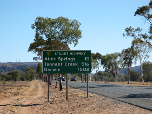
Nearly there, only 1221km to go before it's all over.
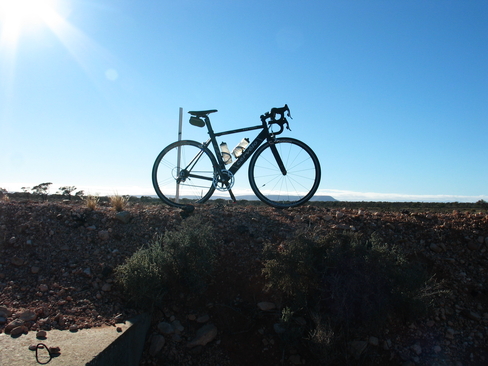
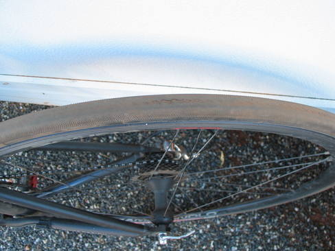
Obligatory Bike Shot.
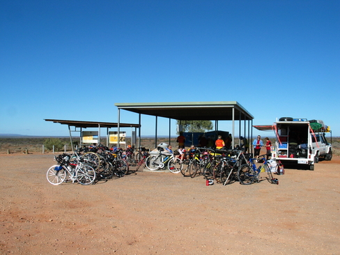
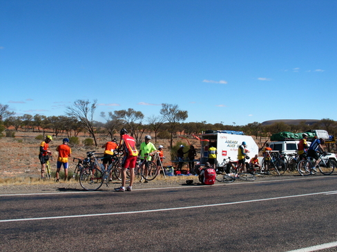
Pack 4 rolling to Morning Tea
Everyone enjoying their Morning Tea. We had the Rest Stop to ourselves.
The bunch leaving Morning Tea, before Anthea and I bridged to Graeme
Hienz, the man who wanted to see it all.
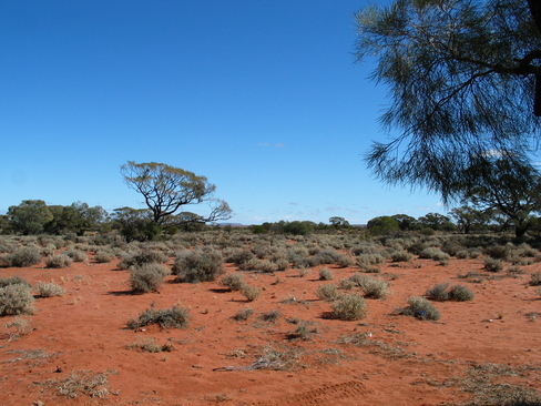
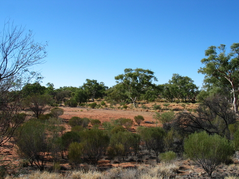
The varied vegetation of the area
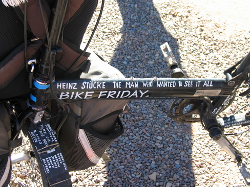
The bike says it all
Lunch, Al Fresco dining at it's best.
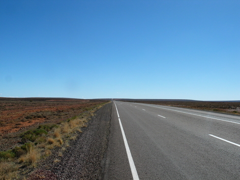
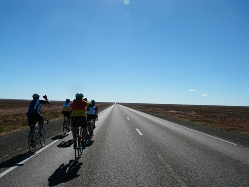
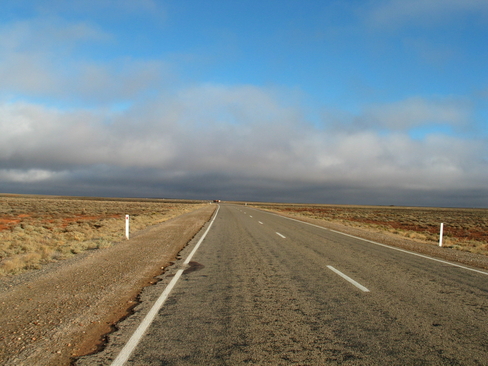
It's a long way to the horizon...
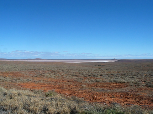
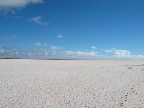
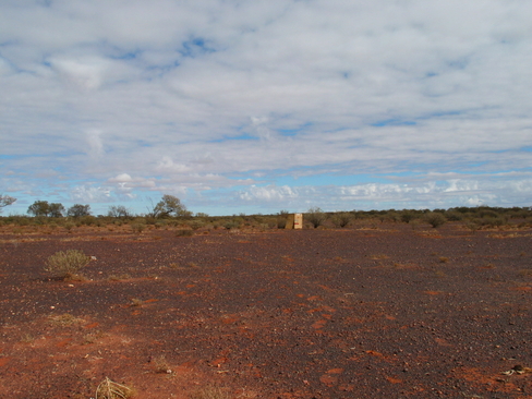
Island Lagoon, one of the many Salt Flats in the area.
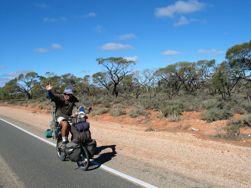
I'm not the only one to take picutres while on the bike.
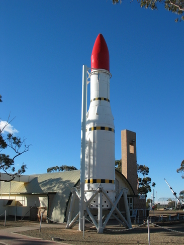
Black Arrow, one of the many rockets tested at Woomera
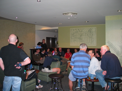
The nightly briefing.
Day 5
Day 5 Report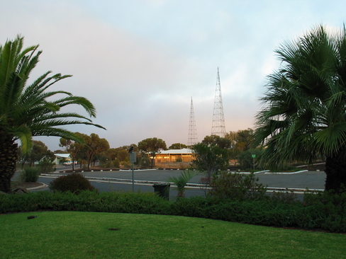
The western sky at Sunrise, Woomera.
Counting down, at least it's closer than yesterday.
Riders in the Storm.
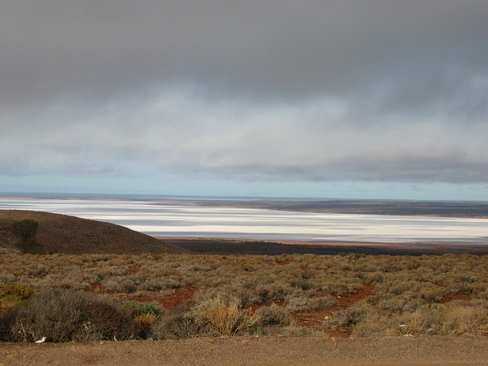
Island Lagoon, from the north this time.
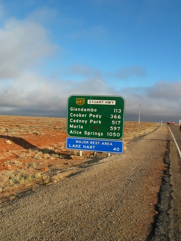
Remnants of a pier at Lake Hart
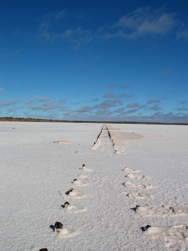
Looking North over Lake Hart, on a map it looks small. The edge is still over the horizon.
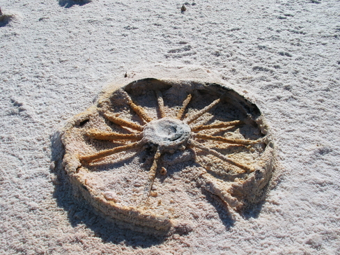
Salt Encrusted wheel on Lake Hart
Pat and Anthea on the road.
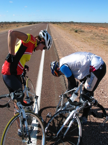
Fixing Pat's spoke with a Band-Aid
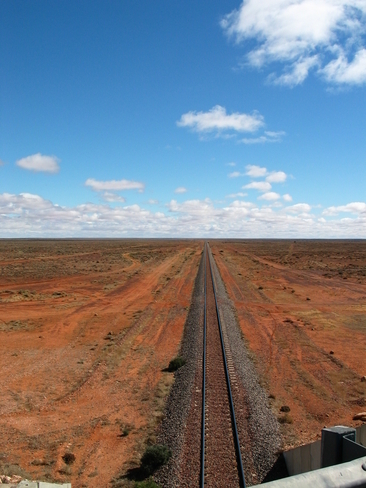
The last we would see of the Railway line until after Coober Pedy
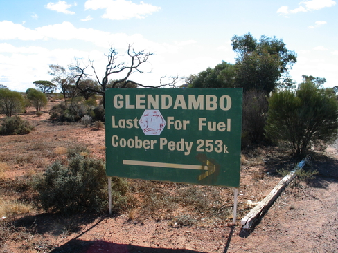
Make sure you fill up!
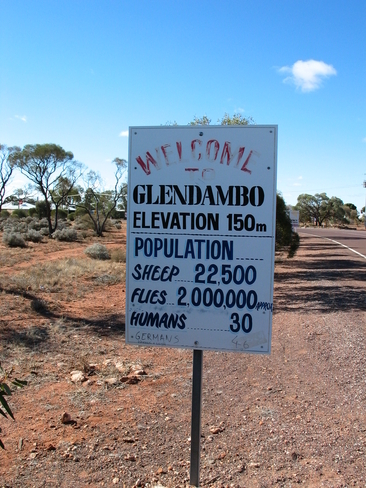
Unless you're a fly, not many others here.
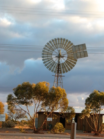
The windmill used to extract the Bore Water for Glendambo.
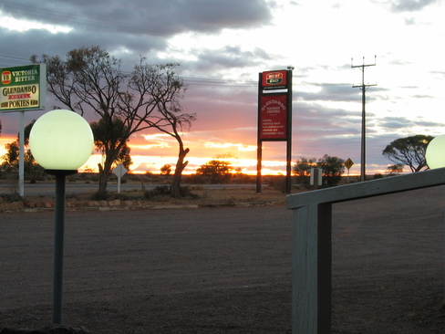
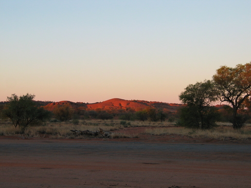
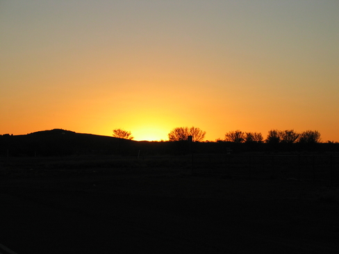
Glendambo Sunset
Evidence of the Saltiness of the water, note the stalactites
Day 6
Day 6 Report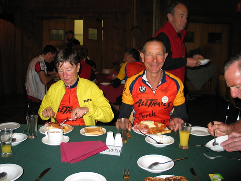
Gill and George having a hearty breakfast.
More evidence of the saltiness of the water.
Sunlight just starting to hit the top of the bushes.
Our early starting pack, after sweeping Sam and Russell up.
The post snack Group.
The group I rode with to lunch, from the front, Rob, John, Pat, Graeme, David, Anthea, Alan and Jane.
Phil's cardboard box dunny.
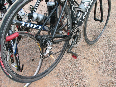
The repair job, a piece of wood shoved in the derailleur

Enjoying a sit down and some lunch.
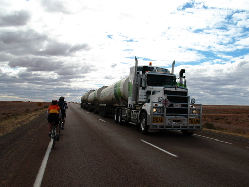
One of the many Road Trains, this is the rare 4 trailer version.
Try and avoid looking too tired, it was only 256km...
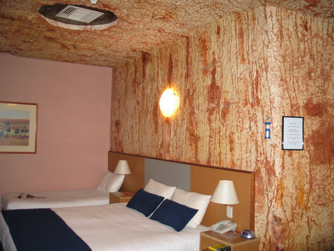
The Underground Room
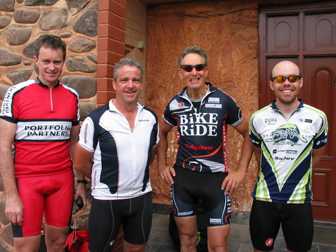
The first four in, glad to be here. L to R, David, Pat, Graeme and me, James.
The last two riders in. Well done guys. L to R, Russell, Sam, Phil
Day 7
Day 7 Report
The broken part...
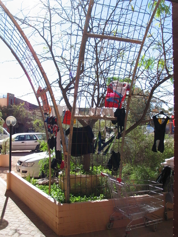
Anything can be a washing line if you try hard enough.
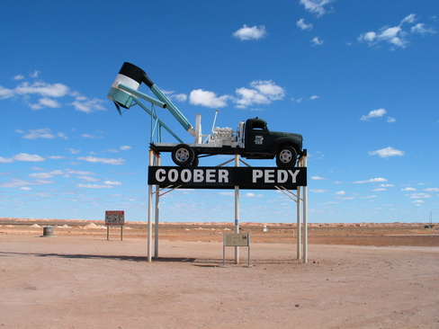
The first tree in Coober Pedy, it was made out of the remains of a truck which caught fire and burnt.
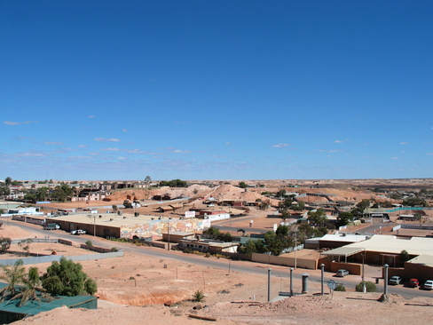
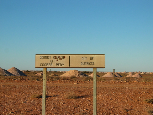
The township of Coober Pedy
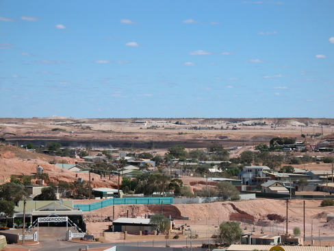
More of Coober Pedy, not that there is that much of it...
A Blower, these are used to extract the rock out of a mine shaft, which is then noodled for opals.
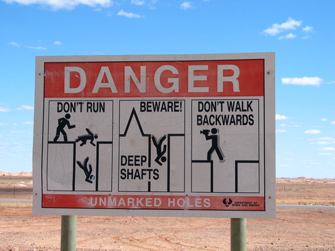
You have been warned.
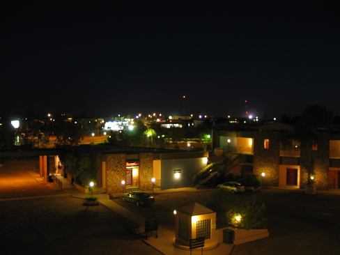
Night shot of Coober Pedy
Day 8
Day 8 Report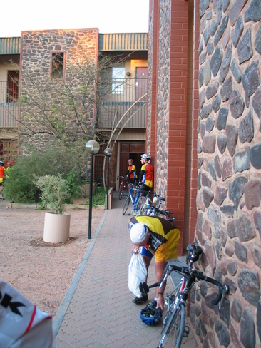
Getting ready for another day in the saddle.
Leaving Coober Pedy
Shadows streetching away.
Another Distance Sign, with Rob showing of his SCC Jersey
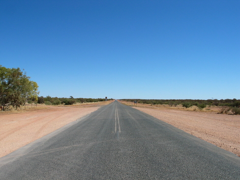
Back into the Never Never, no local council services out here.
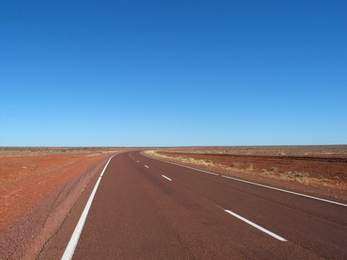
Now that's flat.
One of the rest stops with the improved Ladies Toilet, the guys as usual had to find a bush, and that was hard enough.
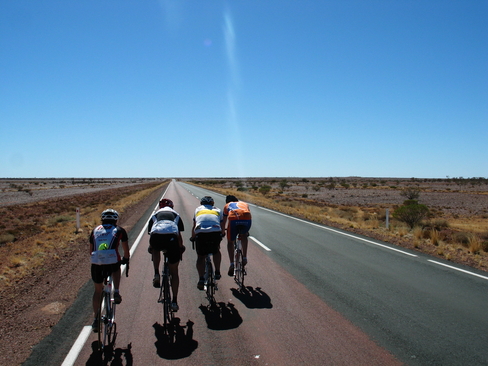
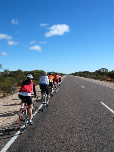
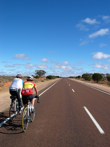
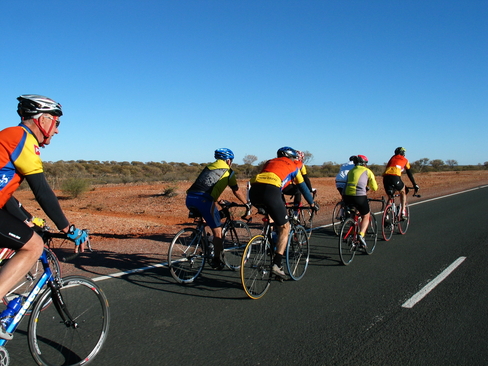
Riding in echelon. David leading, followed by Pat, Graeme, and Anthea.
This hitching post made a great bike rack!
Day 9
Day 9 Report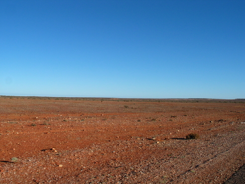
MMBU
Pack 4
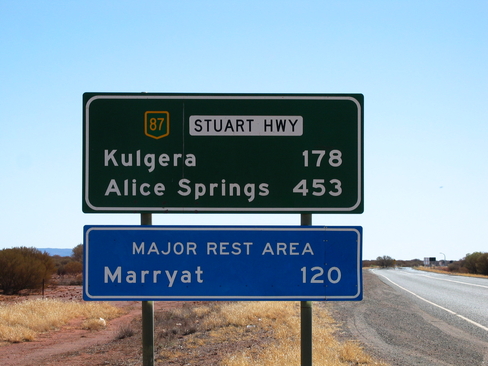
Tomorrows Distance, 178 to Kulgera
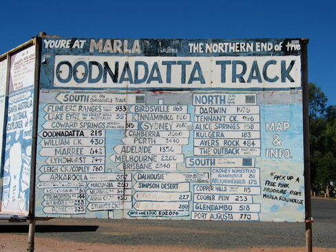
At Marla, it is a long way to... well everywhere.
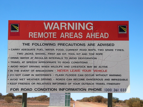
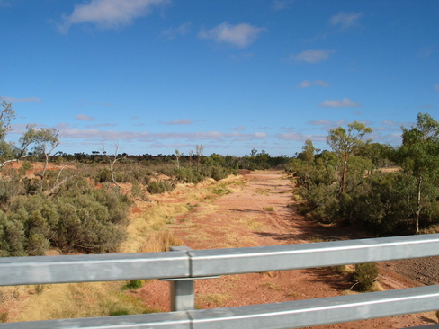
The Oonadatta Track isn't to be taken lightly.
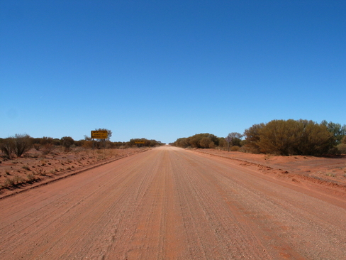
The Track. Yes, RoadTrains use it.
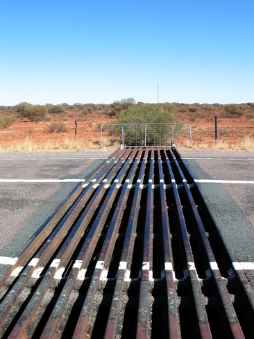
One of the many cattle grids on the road
Some of the many riders who came to see Anthea off.
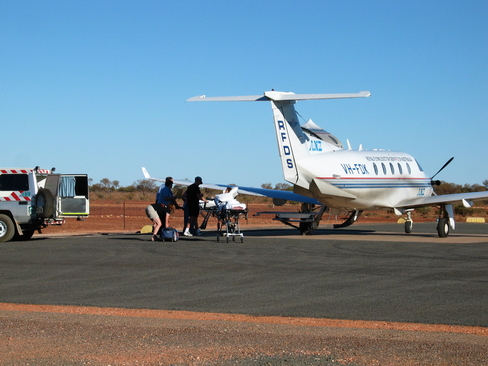
Not the way you want to go home from a trip like this.
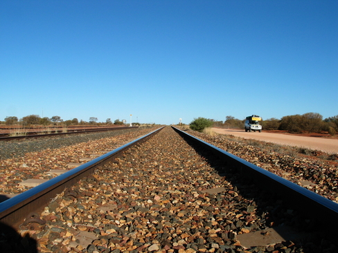
The Central Australian Railway, stretching away.
Day 10
Day 10 Report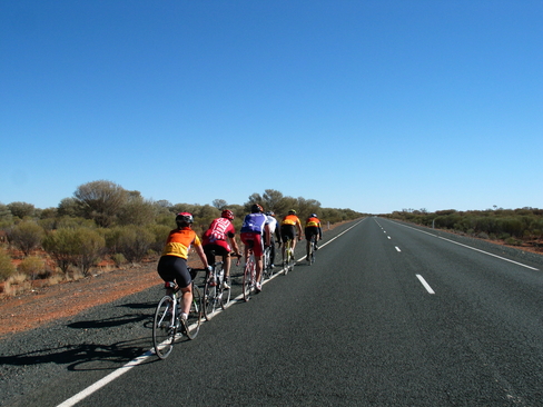
The group to Lunch.
This group stayed together to Lunch, from the top, Rob, John, Pat, David, Graeme and Jane.
One of the many dry river beds.
To compensate for the increased speed, they made the road narrower.
The last rays of the sun catching the hill behind Kulgera
Kulgera Sunset
Day 11
Day 11 Report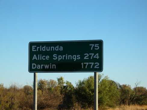
Not far now... except for the detour to Uluru.
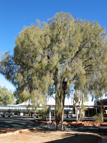
A Desert Oak at Erldunda
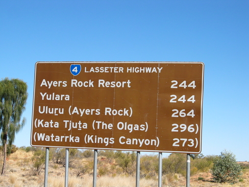
The distances on the Lasseter Highway.
The landscape changed from as barren as this, to quite vegitated at times.
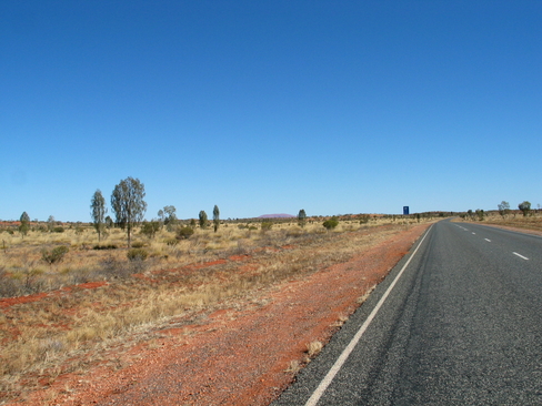
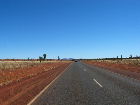
The road stretching away from Mt Ebenezer
Golf anyone?
Day 12
Day 12 Report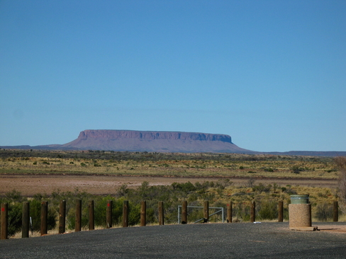
Mount Conner
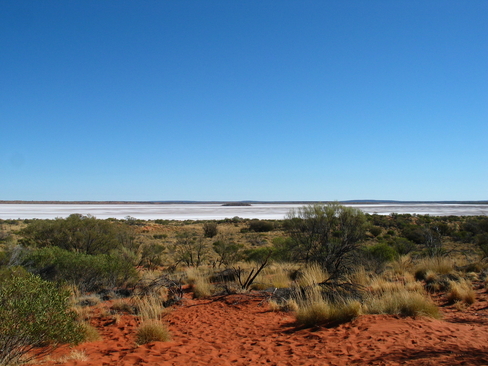
The Salt Flat just north of Mount Conner Lookout
Looking west.
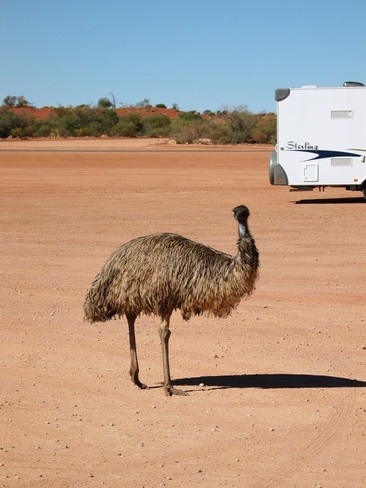
One of the Emus at Curtin Springs.
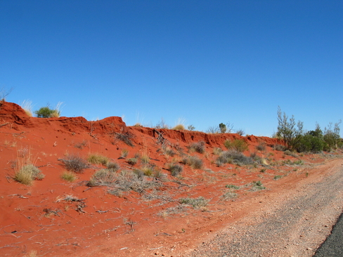
The striking colour of the red sand.
My first sight of Uluru, still about 35km away from Yulara.
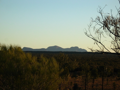
Kata Tjuta on the horizon.
Kata Tjuta at sunset, or Homer Simpson depending on your point of view
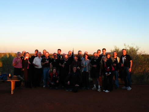
The Group, at Sounds of Silence.
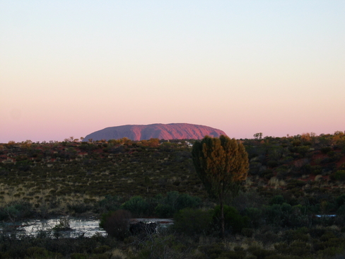
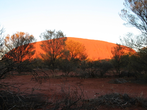
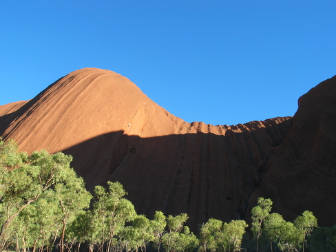
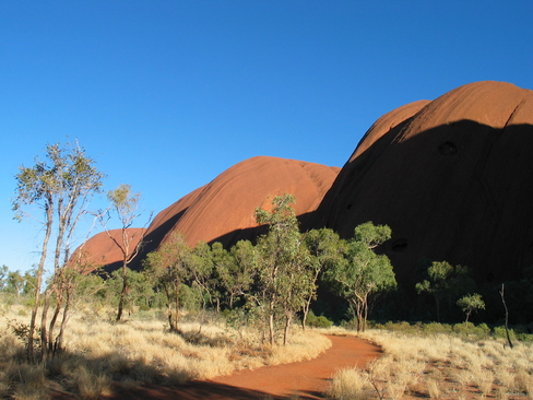
Uluru at Sunset
Day 13
Day 13 Report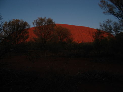
Uluru, predawn
Uluru at dawn
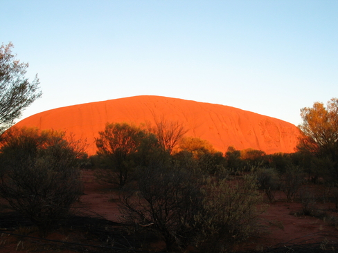
Uluru at dawn
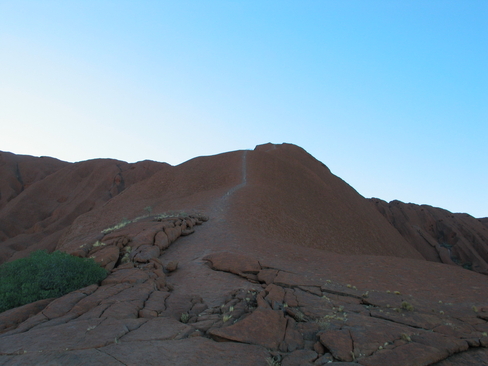
The track to the top, it was closed when I was there.
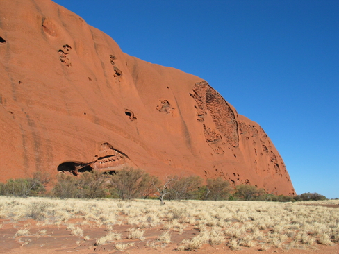
The western side of Uluru
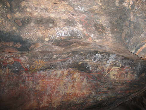
Some of the many rock paintings on and around Uluru
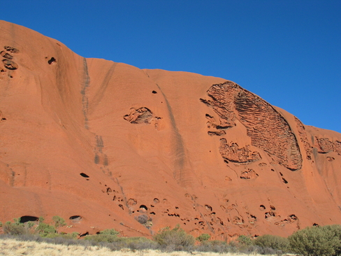
More of Uluru
Looking back along the base walk track.
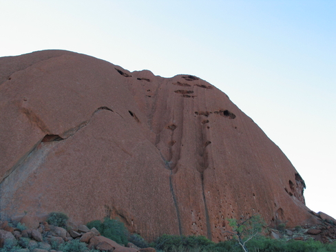
The north eastern face of Uluru
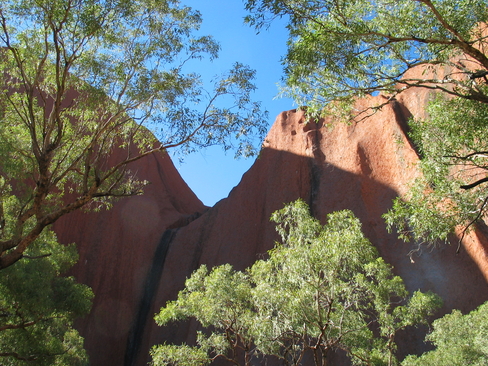
One of the features of Uluru
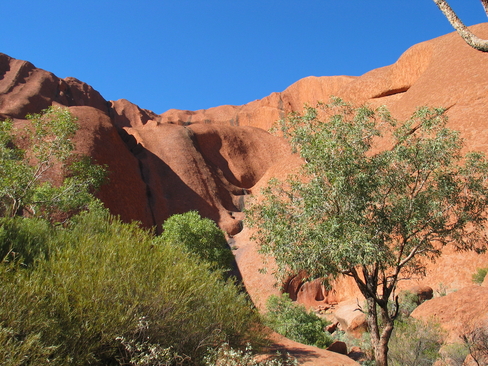
Near one of the near permenant water holes at the base of Uluru.
Up close, the surface is quite lumpy
The eastern sky at sunset, it was beautiful seeing colours like this.
Day 14
Day 14 Report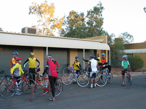
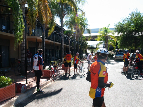
The first group getting ready to roll out.
After getting the count right, they're off!
If it doesn't fit, use a bigger hammer.
Catching up on some sleep...
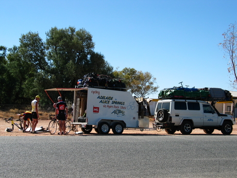
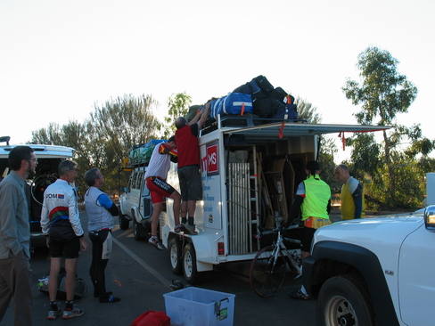
The truck and trailer loaded to the gills.
Day 15
Day 15 Report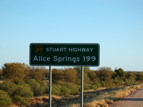
It's so close I can smell it.
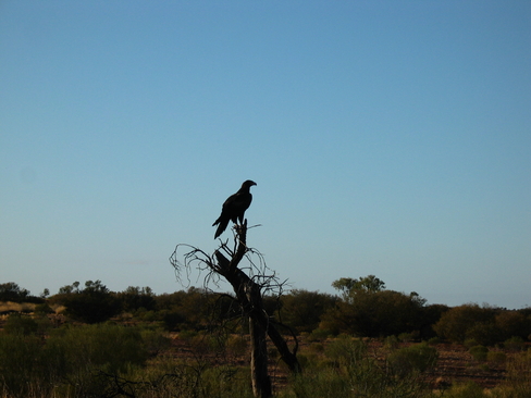
Still not a good shot, but the best I managed. A Wedge Tailed Eagle.
Looking North towards some low hills on the horizon.
Phil set these bike racks up at every stopping point, made it a lot easier for everyone.
Some of the low hills we were weaving between on our way to Stuarts Well.
The Finke River...
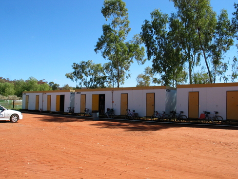
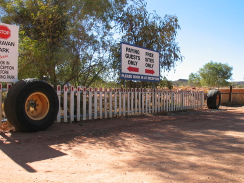
The Budget Accommodation for the night
Why buy pickets, when there are so many just lying at the side of the road
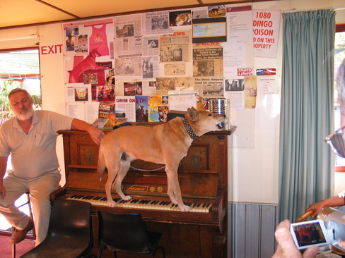
Dinky, playing a duet and singing
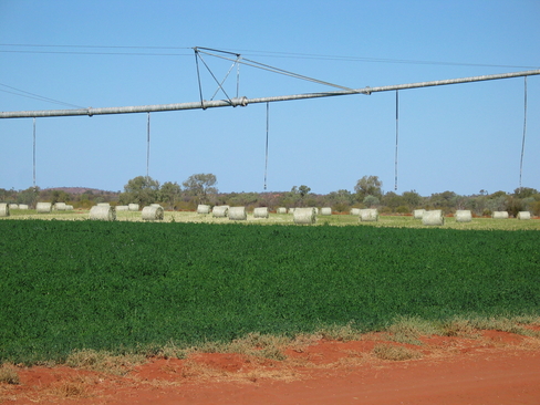
Lucerne, not something I expected to see here.
Yep, I think it's stuffed
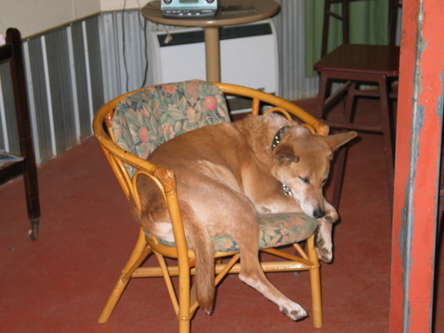
Life's hard when you're a singing piano playing dingo
Day 16
Day 16 Report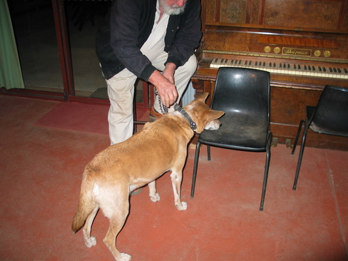
Dinky, getting ready to perform for Macca on Australia All Over.
The scramble for a hot cuppa, note the amount of cold weather clothing
I really can walk from here
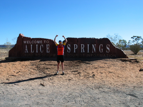
Made It!
At the final Hotel
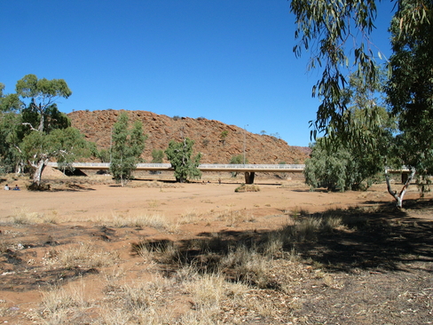
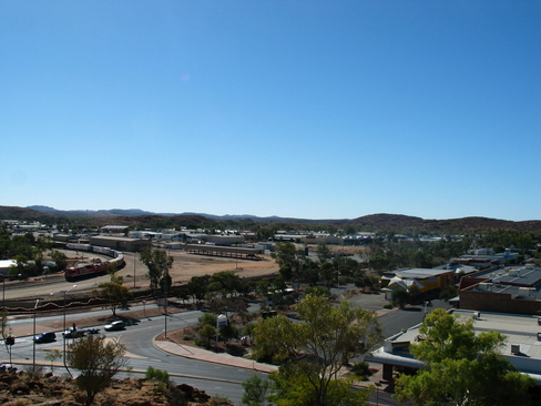
The Todd River, Alice Springs.
Heavitree Gap
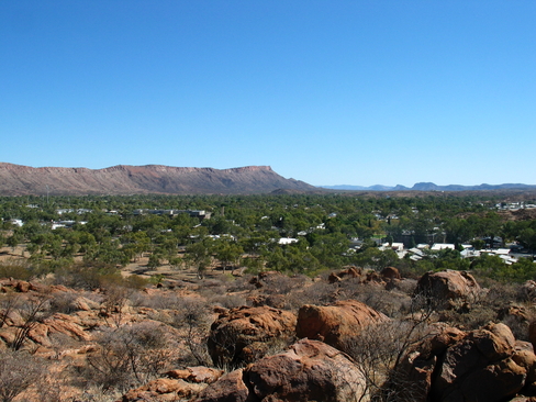
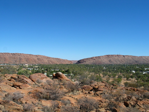
Looking along the Western MacDonnell Ranges over Alice Springs
Looking North West over Alice Springs
Day 17
Day 17 Report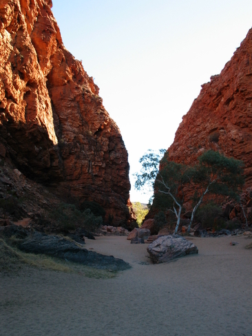
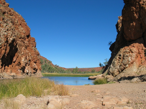
Simpsons Gap
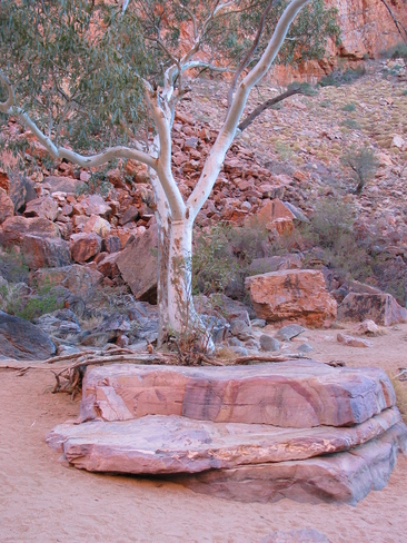
A Quartz Boulder in Simpsons Gap, it has been scoured clean by the occasional water flow
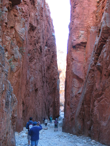
Standly Chasm
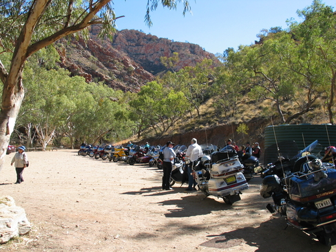
All the GoldWing bikes at Standly Chasm
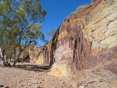
The Ochre Pits
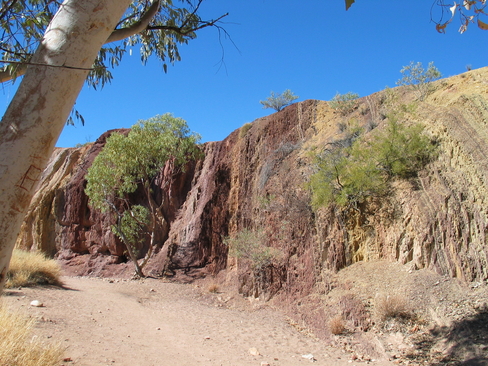
The different strata colours of The Ochre Pits
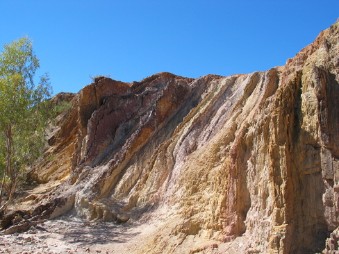
The Ochre Pits were very photogenic, the colours were astonishing.
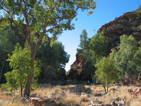
Glen Helen Gorge, on the Finke River
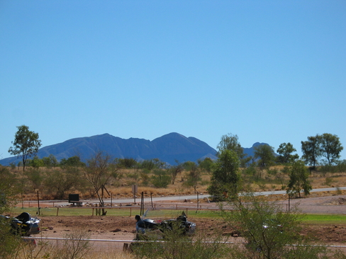
Mount Sonder
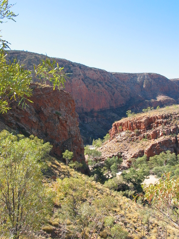
Ormiston Gorge, also on the Finke River
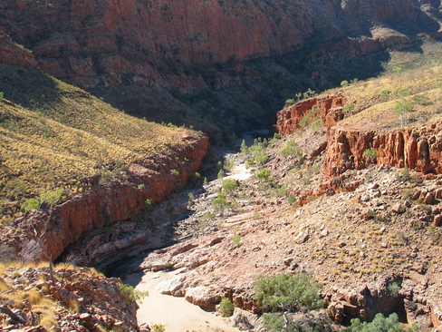
Looking down into Ormiston Gorge
Ormiston Gorge
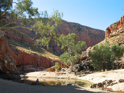
Ellery Creek Big Hole