Photo Gallery - The Territory Tour 2009
Day 0
Day 0 Report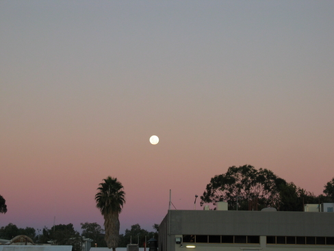
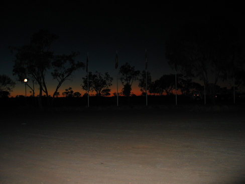
Moonrise
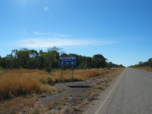
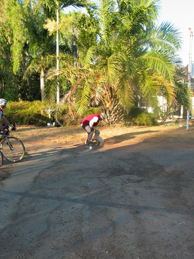
Day 1
Day 1 Report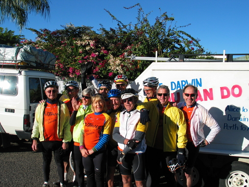
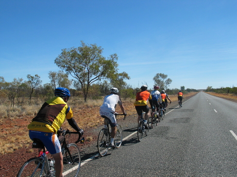
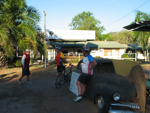
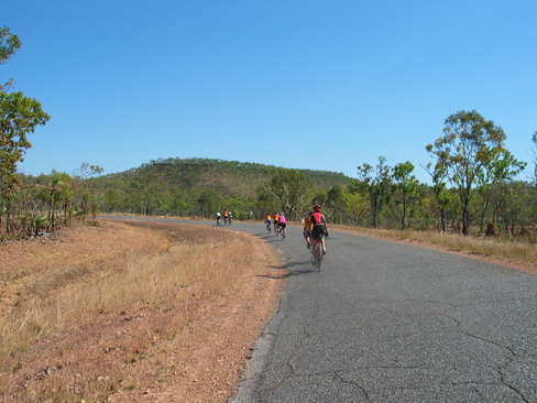
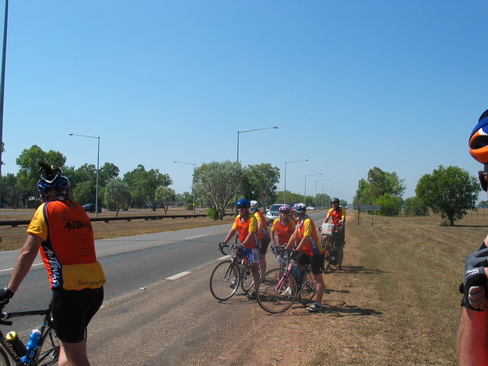
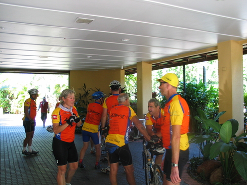
The riders ready to roll
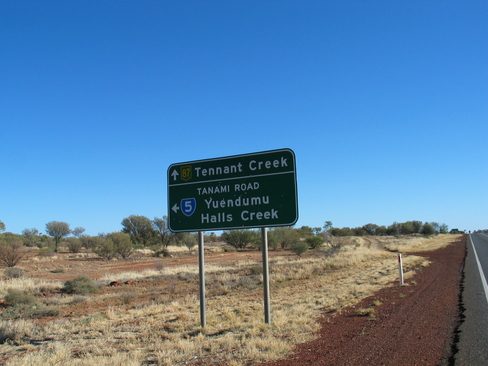
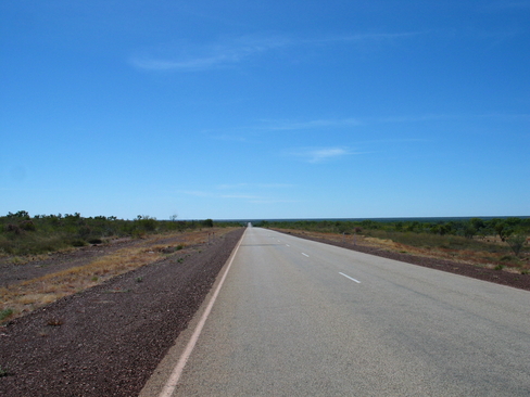
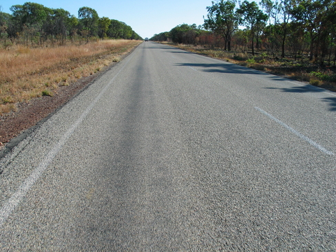
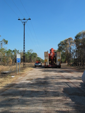
Tamni Desert Short Cut. I will pass through Halls Creek on Darwin to Broome
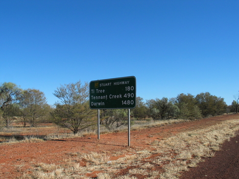
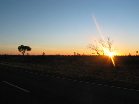
Darwin is still a long way off....
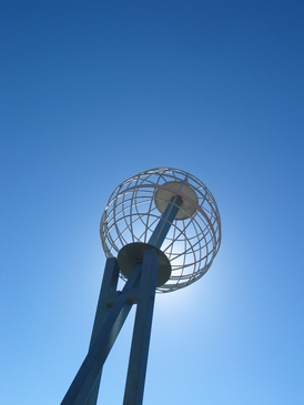
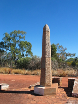
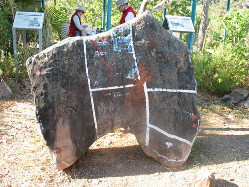
The Tropic of Capricorn Marker
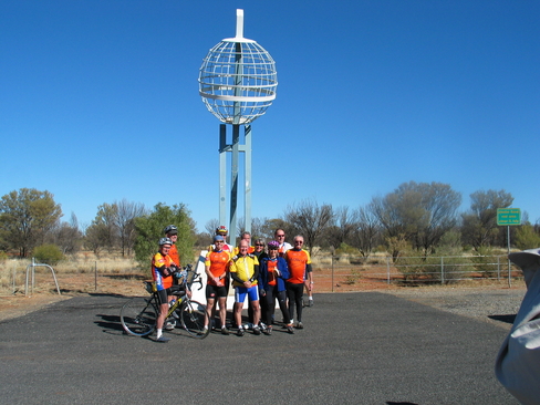
The Riders at the Tropic of Capricorn
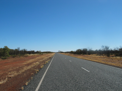
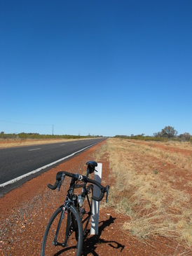
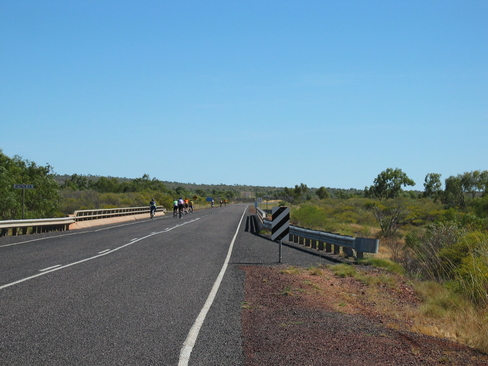
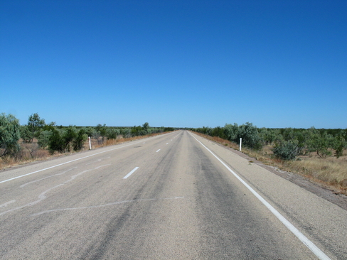
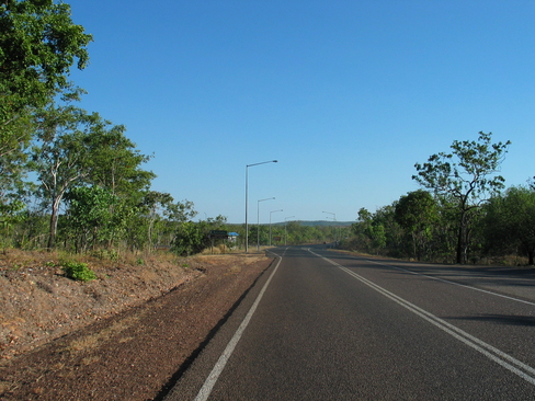
A long way to go
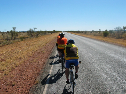
The post lunch group, with John on the back.
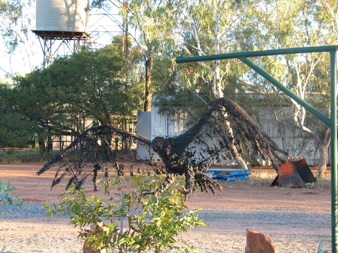
Sculpture of a Wedge Tailed Eagle
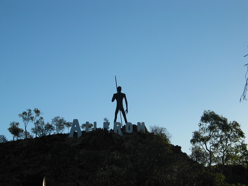
The Hunter
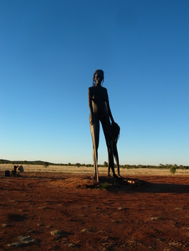
The Gatherer
Day 2
Day 2 Report
Early Start Today. Up before Dawn
Dawn light just starting to show. We were on the road before the Sun
Finally! Sun's up, now just waiting for it to warm up
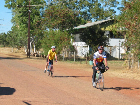
Why does John always seem to be at the back of the bunch?
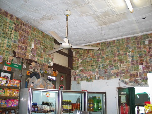
Some of the many signed Currency Notes at the pub at Barrow Creek
Having some lunch at Barrow Creek. The day got easier after this.
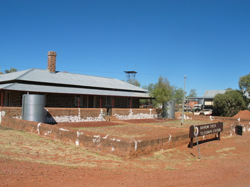
Barrow Creek Telegraph Station
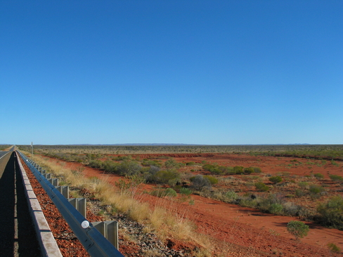
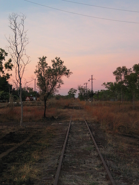
On the railway overpass. Suddenly you could see a long way...
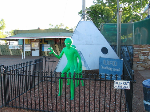
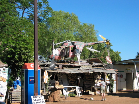
The Aliens of Wycliffe Well
Day 3
Day 3 Report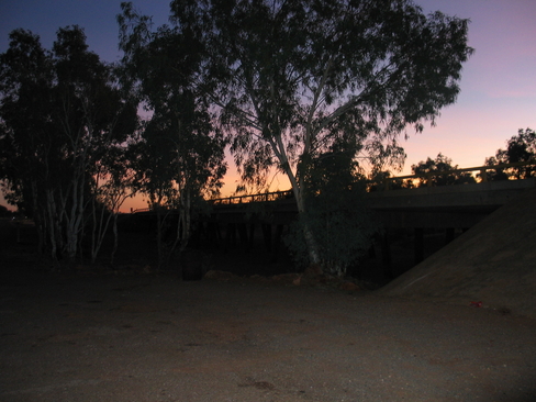
Sunrise at the Bridge at Wycliffe Well. The river bed was bone dry
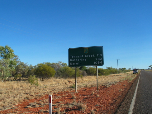
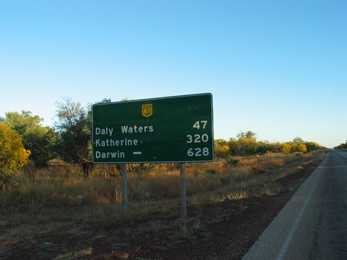
Darwin's closer, but still a long way off. Let's get to Tennant Creek first
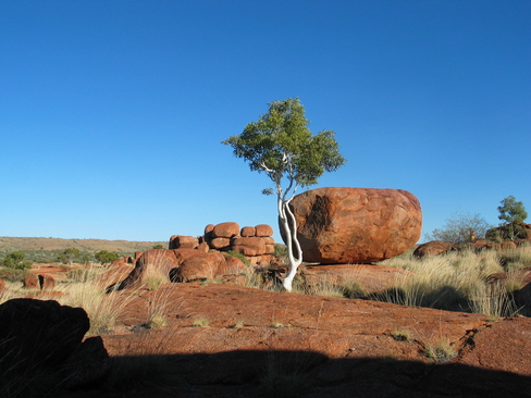
The Devil's Marbles
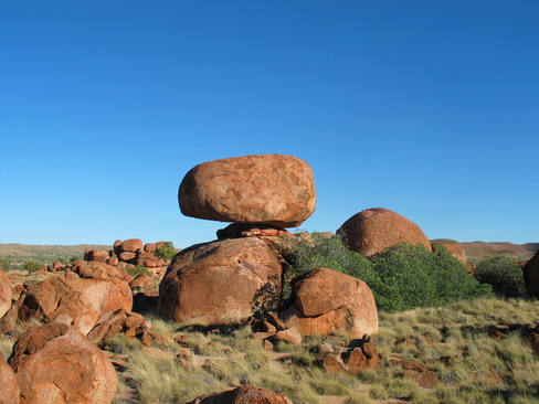
Balancing Rocks. They were formed this way. Eventually it will fall down, but not while we were there.
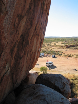
Up high in the Marbles looking back down over Morning Tea stop
More Marbles, they covered a vast area
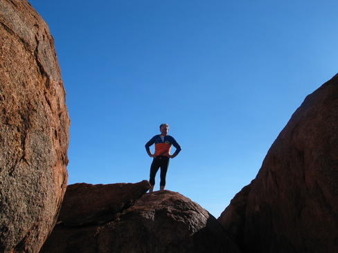
Find your own Rock! Alex playing King of the Castle.
Phil's Flour Art
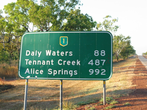
The road more travelled, I've already covered that section (don't turn around)
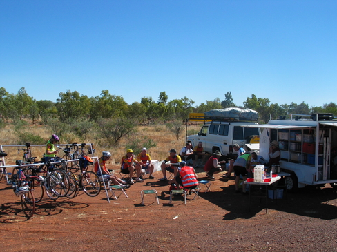
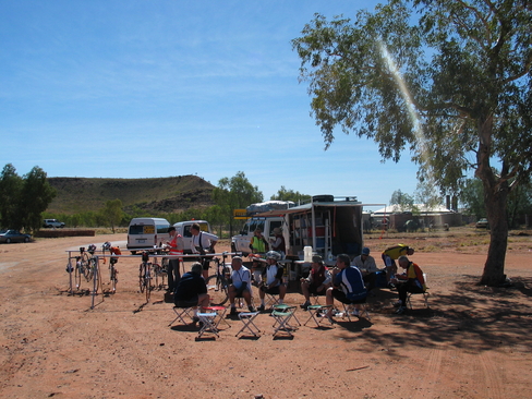
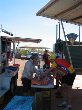
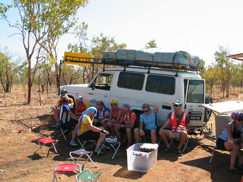
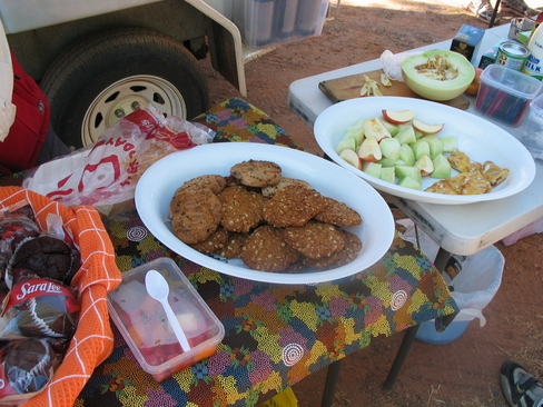
One of our meal breaks. The ever present Bike Racks, Stools, and plenty of food. What more could a cyclist want...
Day 4
Day 4 Report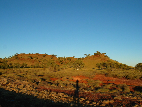
The hills just to the north of Tennant Creek
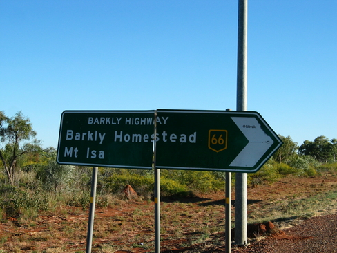
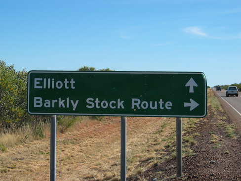
Turn off to the Barkley Highway. The only main road from the Northern Territory to Queensland
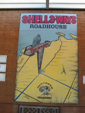
And that is why it is called Three Ways.
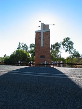
The John Flynn Memorial, who set up the RFDS that we saw in action last year.
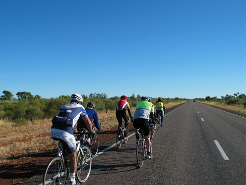
The bunch out of our Snack at Three Ways
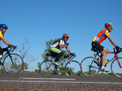
George, Pat and John leaving Morning Tea at Attack Creek
The riders heading off
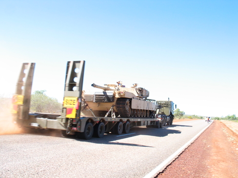
Heavy Metal. One of the 5 tanks that passed us on the road. The only warning that our support vehicles had was "3.7" that is their width
Not many highways where you can take a picture like this
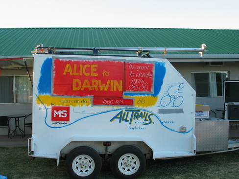
Phil finally updated the side of his trailer to show that we are going to Darwin, and not the Nullabour Ride.
Day 5
Day 5 Report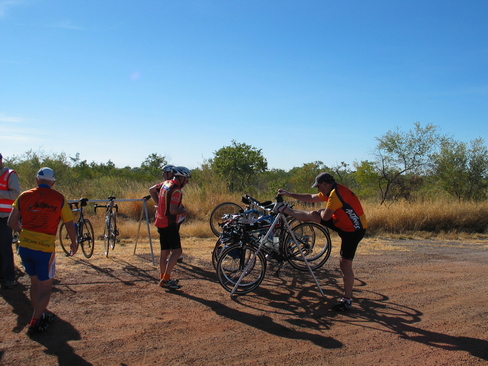
Getting ready to leave our first stop, and Alex is showing off his skills as a Ballerina
There was a sign on the entrace "No Fuel for 500km"...
Looking over Newcastle Waters, dry now, but it will fill up in the Wet. This rest stop was the start of the tropics.
Don't get between a bunch of hungry cyclists and their food. It's Feeding Time!
The road less travelled...
The road more travelled...
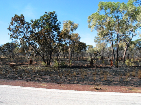
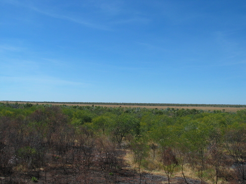
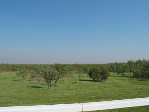
One of the many areas that had been burnt out on the side of the road.
Memorial to the Overland Telegraph Service. It was finally joined to the west of here.
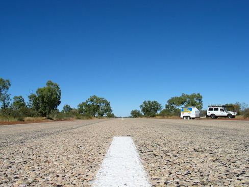
This was one of the most welcome signs of the day, after about 185km, I finally had 5km to go.
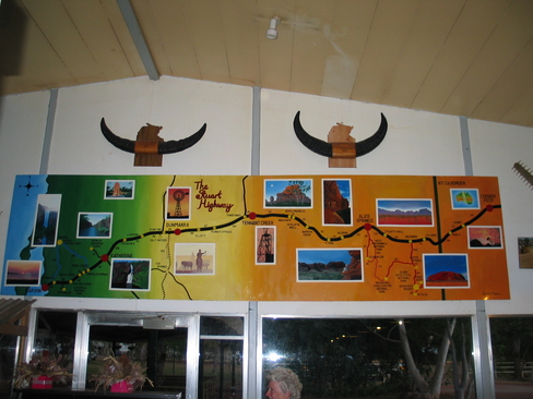
Showing the route we are on, it also extended down to Cooper Pedy where we were last year.
Day 6
Day 6 Report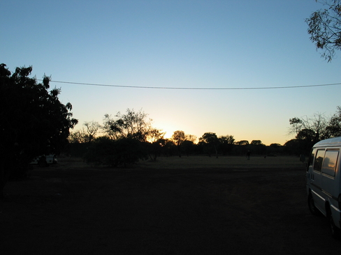
Sunrise at Dunmarra
Those kilometers are down a lot, but there are still lots to go.
There was a smoother section of the road. No prizes for guessing where I wanted to ride.
At Daly Waters, this was across the road from the Pub
Pat leading in Sammy to Daly Waters. Sam is very strong this year.
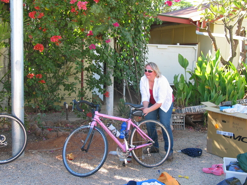
We couldn't keep Fiona off the bike any longer, no sleep last night, and she's still keen to ride.
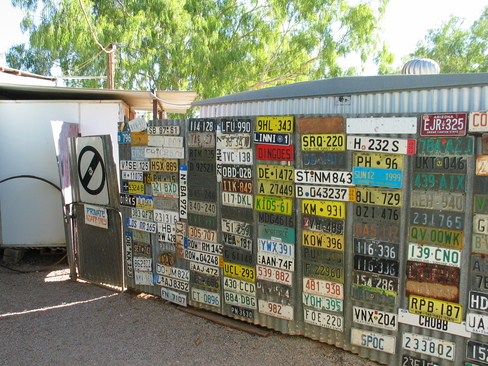
I would love to know how they collect these number plates, most are local, but there is the odd International one
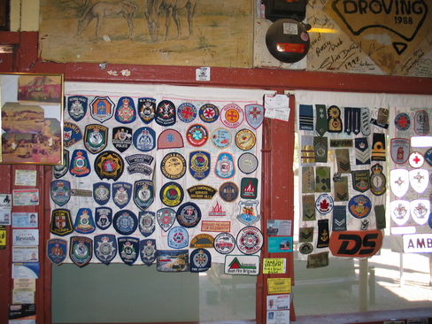
Some of the many Service Badges at Daly Waters Pub
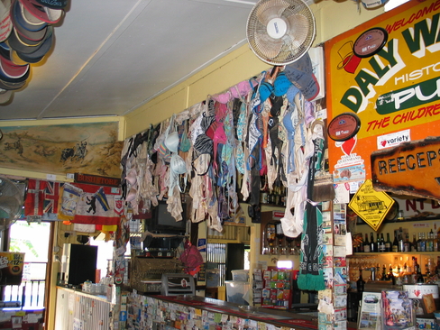
And some of the Underwear hanging up as well
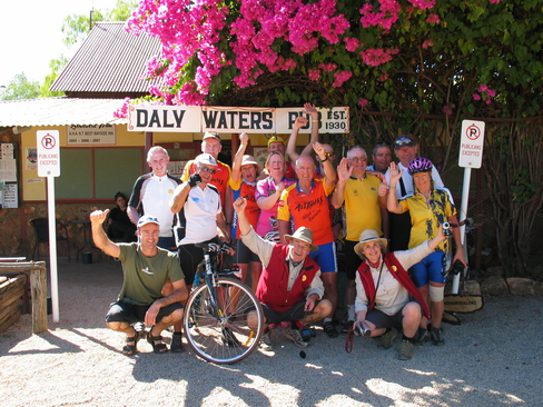
The Group outside Daly Waters Pub
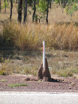
This termite mound wanted extra structural support
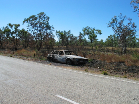
Did the car start the fire? Or was the car burnt by the fire?
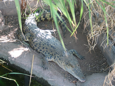
One of the Salties at Larrimah Hotel
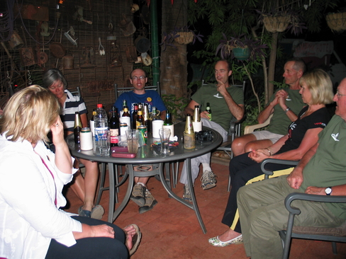
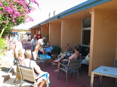
Going through briefing, how many drinks are on the table? There are only 16 of us in total...
Day 7
Day 7 Report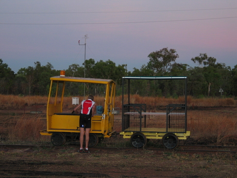
George was trying to work out if it was quicker to take this than ride
The rail line didn't go very far, the Adelaide to Darwin Link is about 50km west of Larrimah
Sunrise at Larrimah
We've come a long way in 6 days...
...but we still have a long way to go
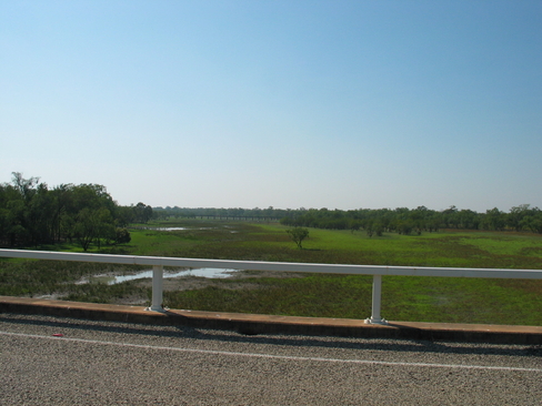
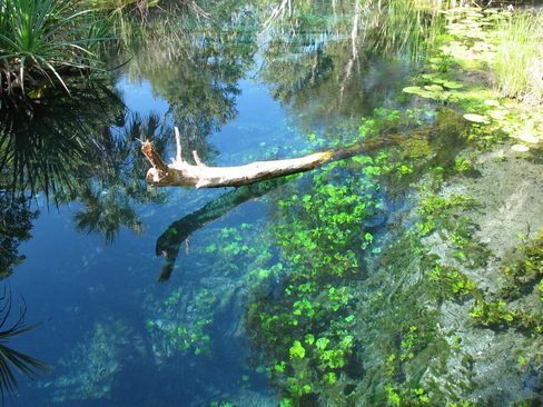
The Ponds shortly after Morning Tea
Looking to the East over the Ponds.
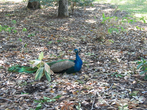
There were several Peacocks and Peahens wandering around
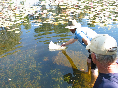
There goes the food you were holding. Barramundi Feeding.
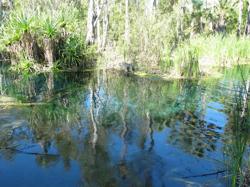
The water at Bitter Springs
The water was crystal clear, and the minerals in it gave it a spectacular colour.
Day 8
Day 8 Report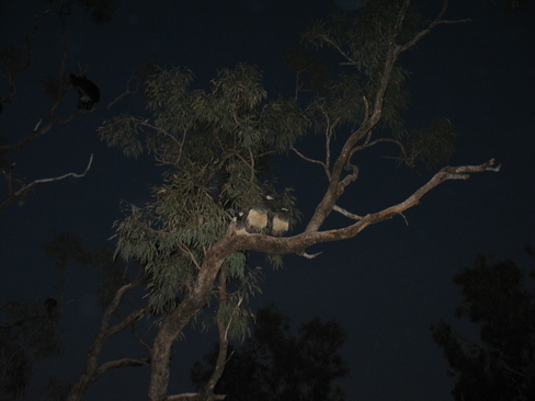
Not somewhere you normally see Peahens, up in a tree
The wide load that wanted to use the Truck Parking Area at Morning Tea
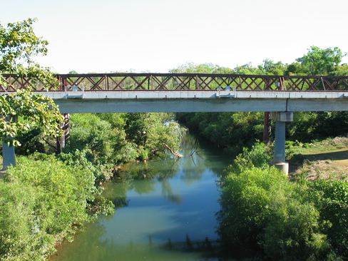
Looking over the King Bridge
The bikes are probably looking forward to a break as much as we are
This is before lunch, didn't take us long to start winding down.
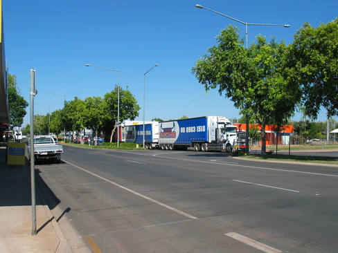
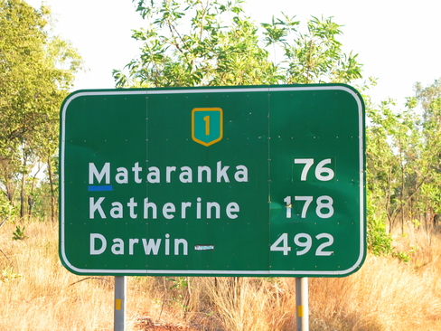
A Road Train in Katherine, they still have to pass through the towns
Day 9
Day 9 Report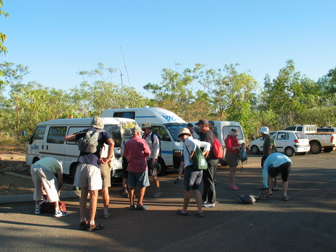
Everyone getting ready for their canoe trip.
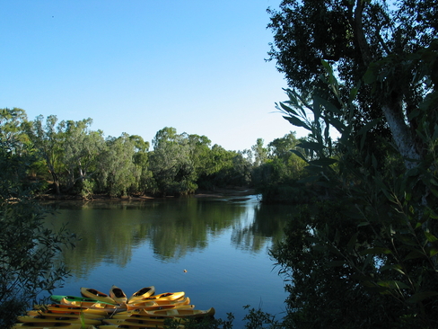
The canoes waiting to be paddled up the Katherine River
I'm ready, what's keeping everyone else?
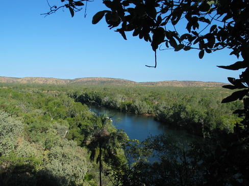
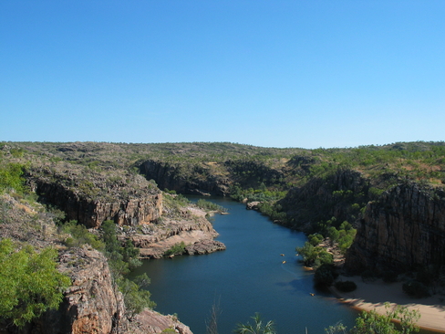
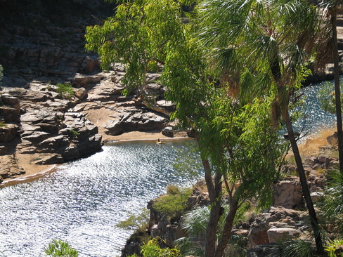
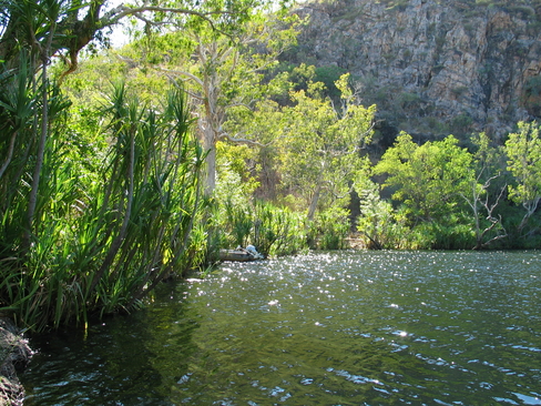
Looking out over Katherine Gorge. Despite the Dry Season, there was still plenty of water
View from Pat's Lookout, the Yellow Dots are Canoes
Looking East, this is pretty much the end of Gorge 1
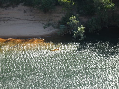
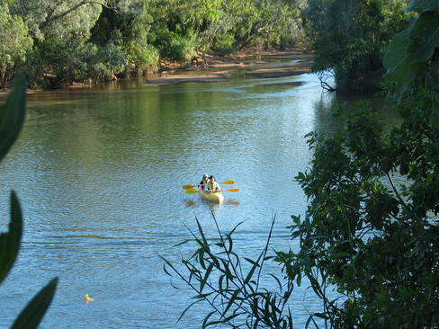
John and Fiona paddling back to home base
Looking down from Pat's Lookout
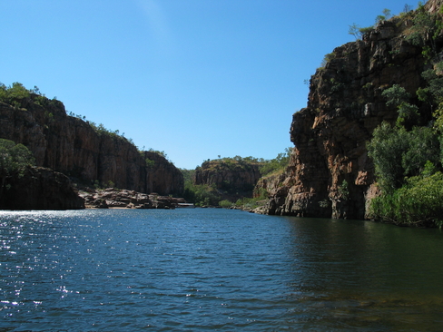
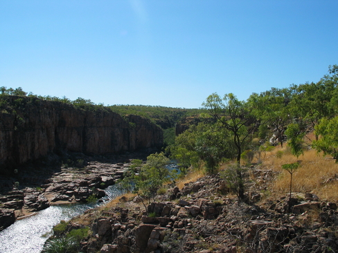
Back at River Level, looking at the end of Gorge 1
Luckily, we didn't ride out here. I am not sure that the suface would be kind to road bikes though
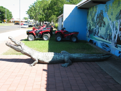
A model Saltie outside Rod and Rifle, at least you knew what they were selling
Day 10
Day 10 Report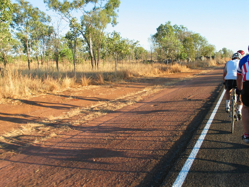
The early morning shadows stretched across the roadside
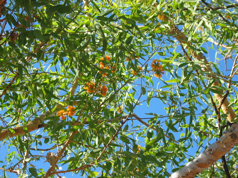
The Gums in this area have brilliant orange flowers
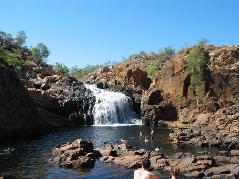
One of the swimming pools at Edith Falls
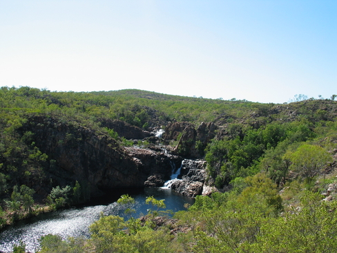
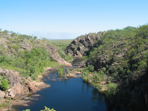
Looking down over Edith Falls
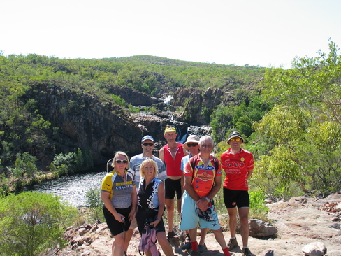
The group of 7 who made the mad dash to get the walk done in time
The back of Edith Falls
The top falls, there may have been more further along, but we didn't have time to keep walking
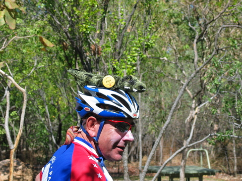
Alex with a new addition to his Helmet
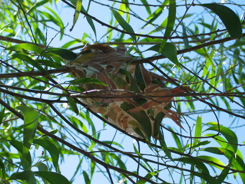
A Green Ant Nest
Shade was at a premimum at this stop
Day 11
Day 11 Report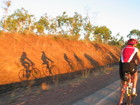
The shadows of the early bunch
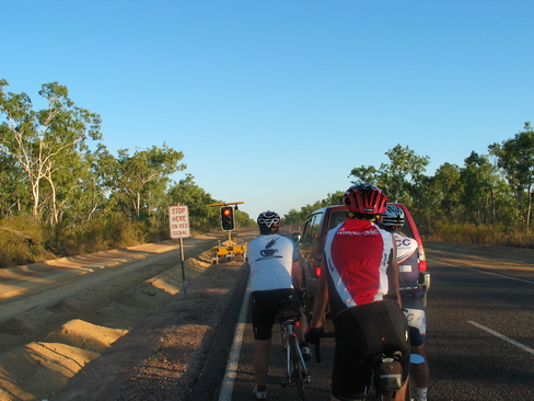
What the hell is a set of traffic lights doing out here!
Phil playing with the dog at Emerald Springs
What time does this place open? Does this place Open?
Map of Australia, the biggest town marked is of course, Hayes Creek.
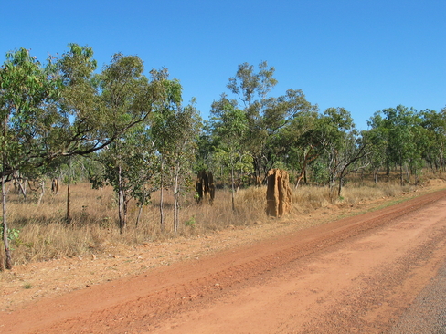
The Termite Mounds are finally starting to get big. As in really big.
This was just a snack stop to see us through to Lunch, which was an hour away...
The multicoloured Peleton
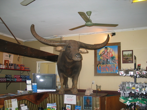
Charlie, famous from Crocodile Dundee 1 and 2
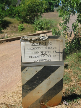
So, if a croc gets me, will it want to eat me or hump me?
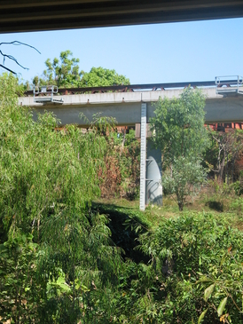
Not as high as Katherine, but still pretty high.
Adelaide River, with the railway bridge spanning it.
Day 12
Day 12 Report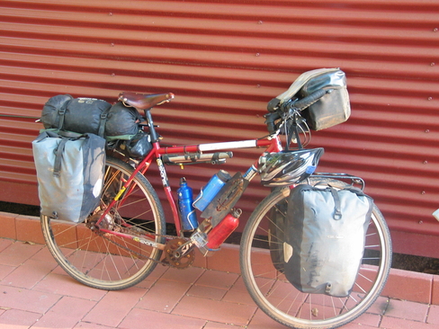
The bike that Chris is riding, all up, about 60kg
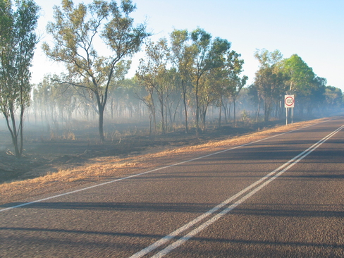
The smoke haze early in the morning
Are we there yet?
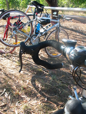
The missing Sub Lever
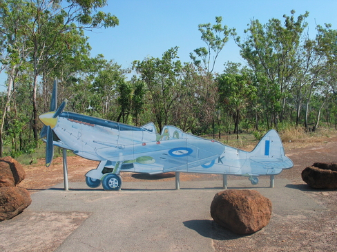
Spitfire MkVIII
Getting ready to roll out as a convoy
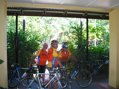
We All Made It!
Sam, Pat and Alex
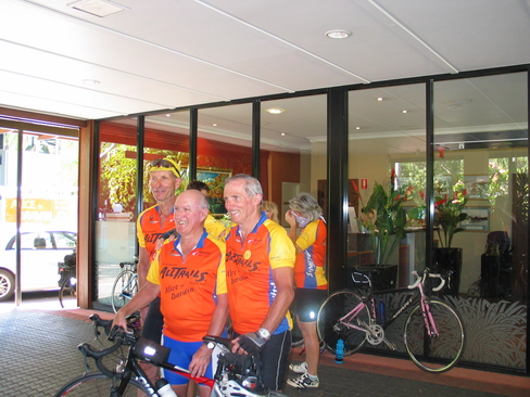
George, John and Ken